Showing posts with label maps. Show all posts

7.31.2011

Cartography Again


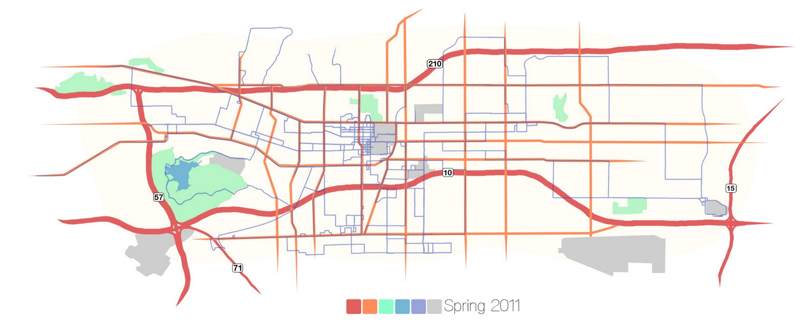
I decided to give maps a second shot. I'd been keeping track of where I went on my bike last semester and that seemed like a decent candidate. Aside from some alignment issues (why does the earth have to be curved, not flat?), I think it came out alright. The dark blue are the cycling routes. I hit 529 miles, but it all looks so insignificant now. I'm conflicted as to how much to label. I did the freeways, but now some of the main roads look naked. I might just have to go back to unlabeled everything.

7.19.2011

Beginner's Cartography


I've always been a fan of maps, especially maps as art (If you're a fan, be sure to check out this 1944 survey of the Mississippi river delta, one of my favorites). During class, inspiration struck and I came up with this graphic summarizing my summer climbing. It's almost too abstract to be practical, but too structured to stand purely as imagery. I'll push it in one direction or other keeping it updated as the summer progresses.